




ShipFinder provides real-time global vessel tracking using AIS (Automatic Identification System) data.
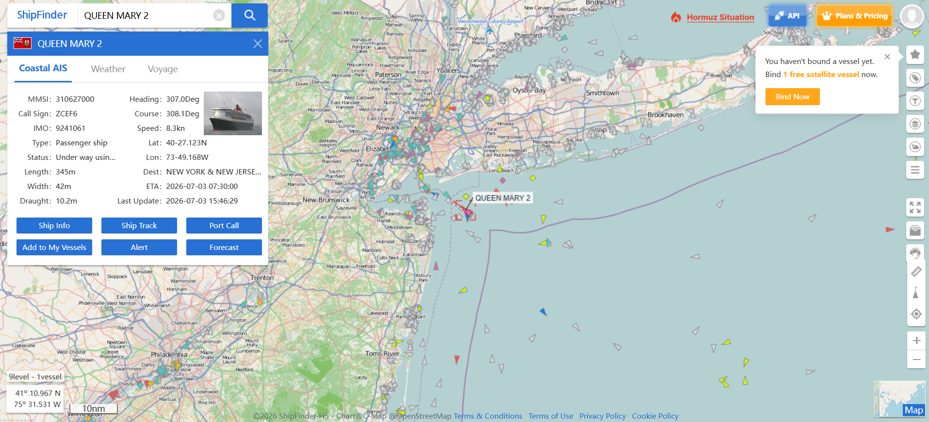
Step 1: Search for a Vessel
Enter the vessel's name, IMO number, or MMSI in the search bar.
Step 2: Track the Vessel in Real Time
View the vessel's latest AIS information on the interactive map, including:
Static Information
Vessel Name
Call Sign
MMSI & IMO Number
Vessel Type
Length & Beam
Dynamic Information
Live AIS Position
Speed Over Ground (SOG)
Course Over Ground (COG)
Heading
Latittude
Longittude
Voyage Information
Destination
Estimated Time of Arrival (ETA)
Draught
Archive(Pro Plan Only)
Upgrade to Pro to access comprehensive vessel archive data sourced from the IMO vessel database. The archive includes detailed vessel specifications, ownership and management information, shipbuilder details, tonnage, dimensions, classification, and more.
AIS Data Sources
ShipFinder receives AIS data from both terrestrial AIS stations and Satellite AIS. Depending on the vessel's location, tracking information may be provided by:
Terrestrial AIS for vessels sailing within coastal coverage.
Satellite AIS for vessels operating offshore and in open oceans.
Upgrade to unlock unlimited Satellite AIS tracking and enhanced historical tracking capabilities.