




ShipFinder's Weather Maps integrate real-time meteorological and oceanographic data into the vessel tracking platform, helping users monitor weather conditions that may impact vessel safety, navigation planning, and operational efficiency.
By combining trusted weather data sources with global vessel tracking information, ShipFinder provides comprehensive weather insights, including wind conditions, wave forecasts, pressure systems, coastal weather forecasts, typhoon tracking, and global tide information.
How to Use Weather Maps
- Open the Weather Maps layer.
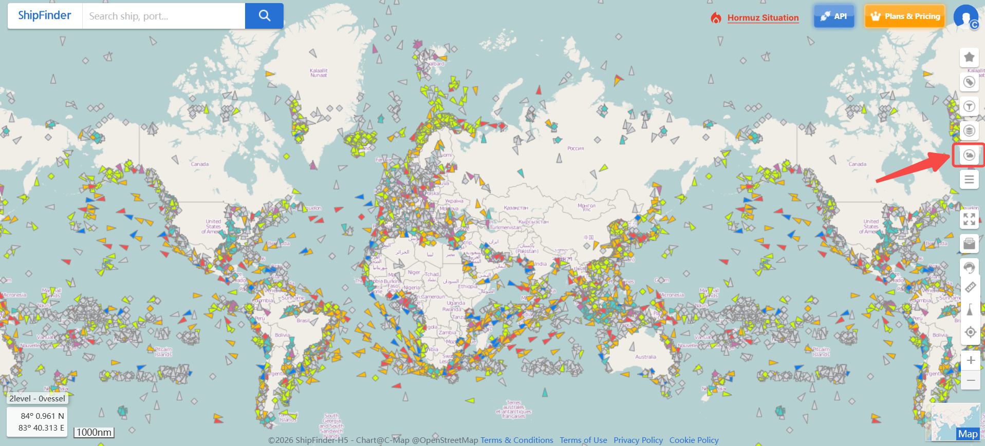
- Select the weather information you want to view.
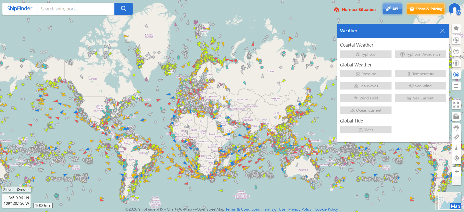
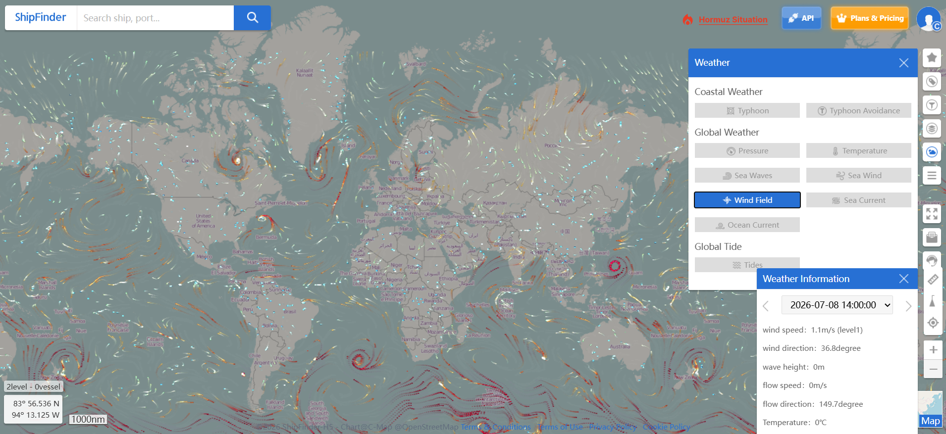
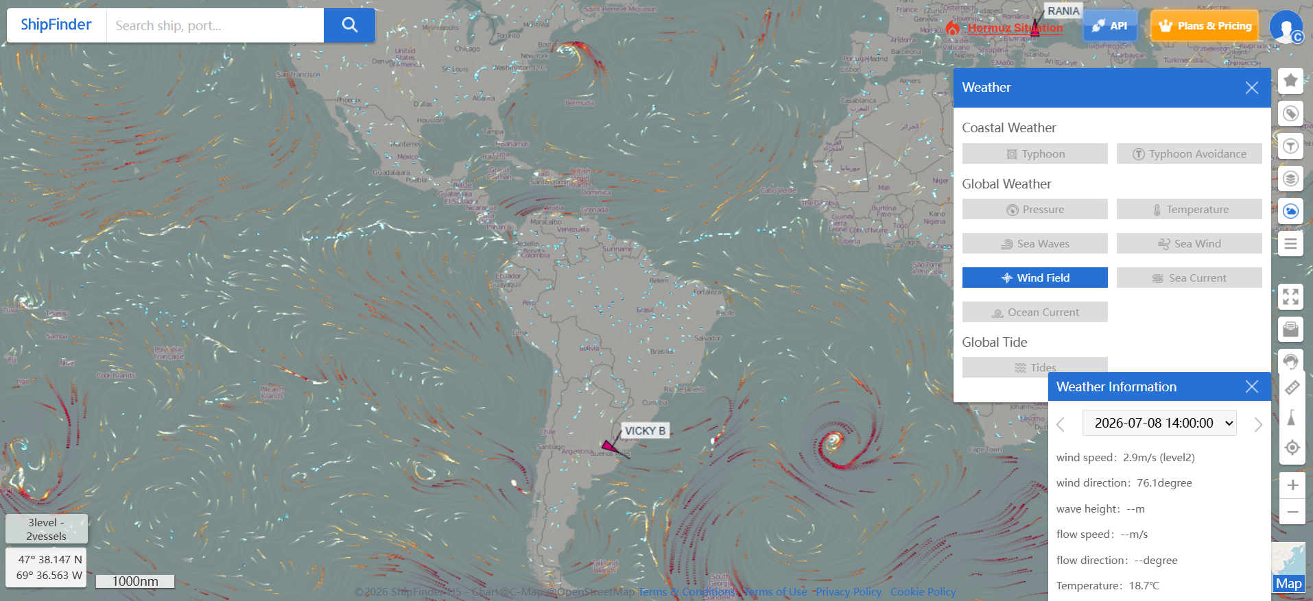
- Adjust the map view to explore weather conditions in your area of interest.
- Review real-time and forecasted weather data directly on the map.
Typhoon Tracking & Avoidance Simulation
ShipFinder provides comprehensive typhoon tracking and simulation tools to help users evaluate potential weather risks and make safer navigation decisions.
Users can monitor:
Typhoon formation location
Moving speed and direction
Historical typhoon tracks
Predicted movement paths
The Typhoon Avoidance Simulation feature allows users to simulate a vessel's movement under different speed and heading scenarios. By comparing the vessel's projected position with the typhoon's predicted path, decision-makers can assess whether the vessel may be affected and optimize route planning accordingly.
Global Weather
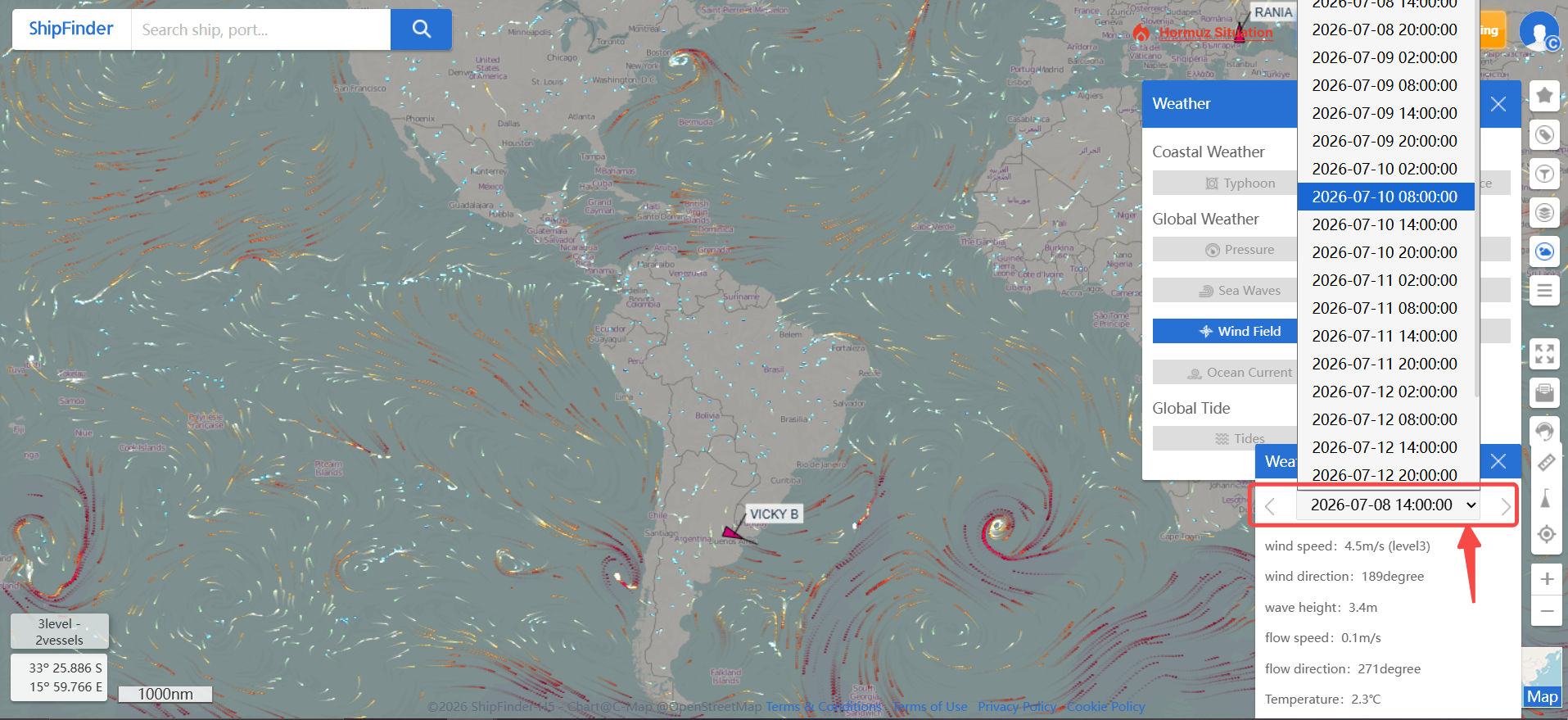
Global Weather provides real-time and forecasted marine weather information worldwide, helping users monitor ocean conditions and assess potential impacts on vessel navigation.
With comprehensive meteorological and oceanographic data overlays, users can view global weather conditions in real time and access 7-day weather forecasts, including atmospheric conditions, sea states, wind patterns, and ocean movements.
Available Weather Layers
Pressure – Monitor atmospheric pressure systems and weather changes.
Temperature – View global temperature conditions.
Sea Waves – Analyze wave height and sea conditions.
Sea Wind – Monitor wind speed and direction over the ocean.
Wind Field – Visualize global wind patterns and movement.
Sea Current – Track sea current conditions.
Ocean Current – Monitor ocean current patterns affecting navigation.
Global Tide
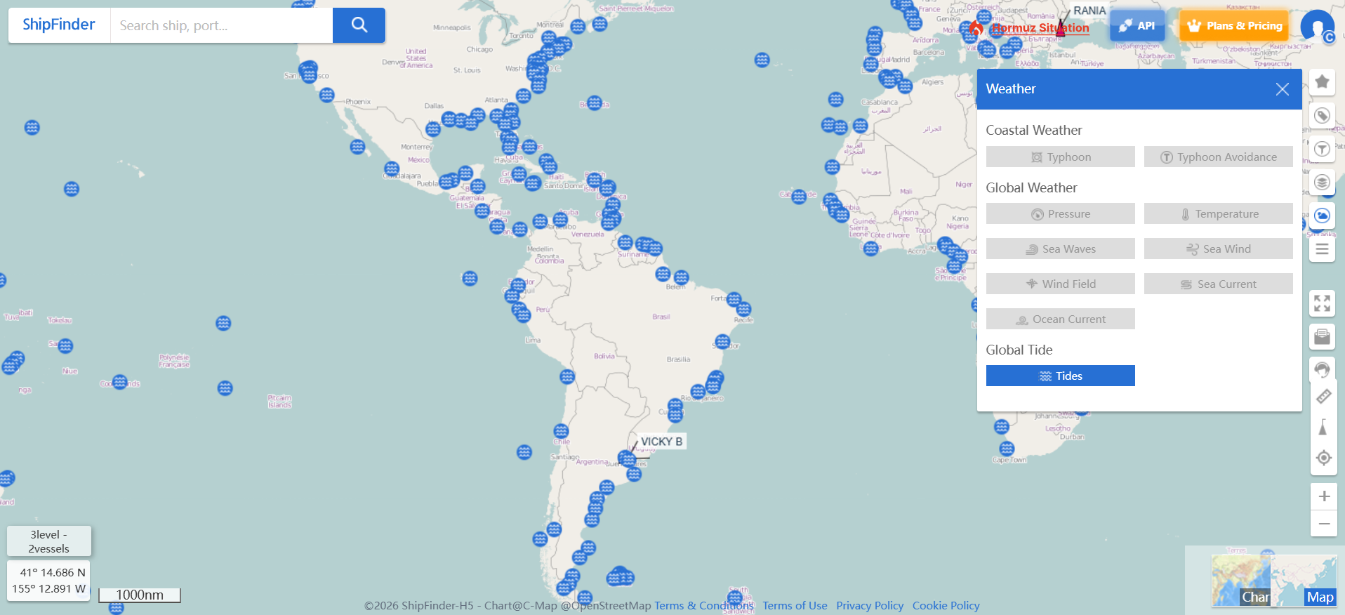
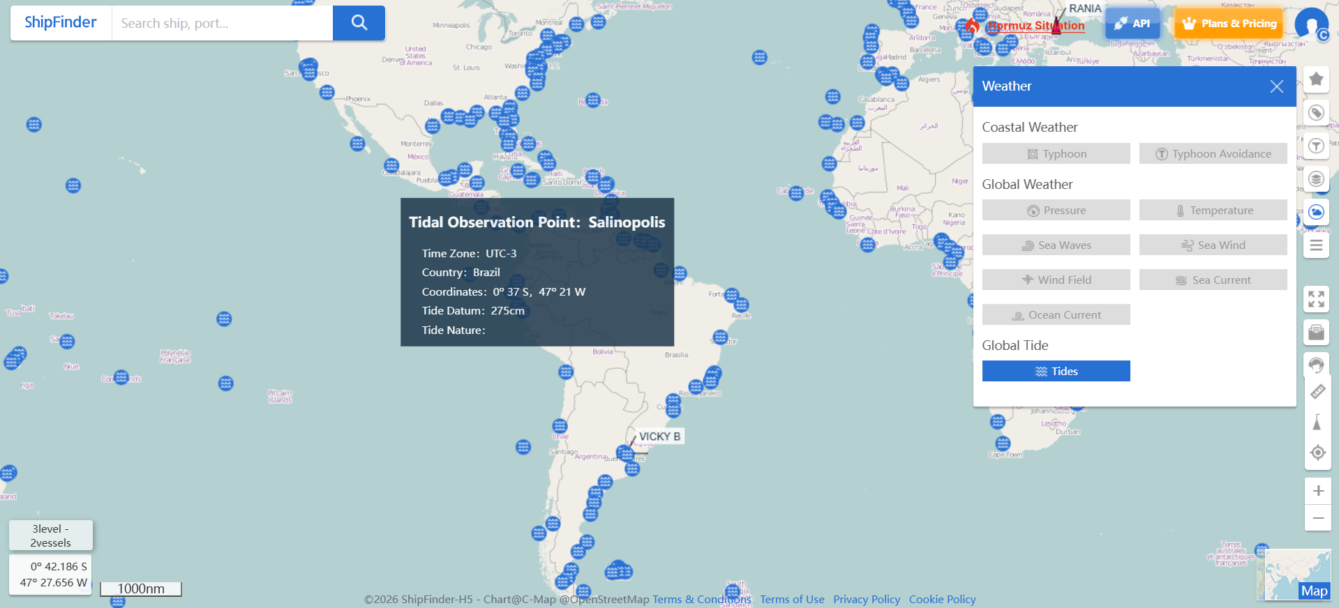
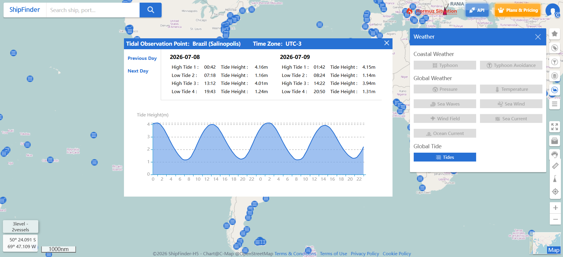
Global Tide provides real-time and predicted tide information(7-day tide forecasts) for ports worldwide, helping users plan vessel arrivals, departures, and port operations more effectively.
Including:
High tide and low tide times
Tide heights
Tide level reference relative to mean sea level
This information helps operators evaluate port accessibility, optimize berth scheduling, and improve operational planning.
Typical Use Cases
Weather Maps help you:
Monitor real-time weather conditions around vessels.
Improve voyage planning by identifying potential weather impacts.
Enhance navigational safety with up-to-date meteorological information.
Prepare for changing sea conditions using 7-day weather forecasts.