



Map Filter allows users to quickly identify target vessels by applying customized filters based on vessel characteristics and operational status.
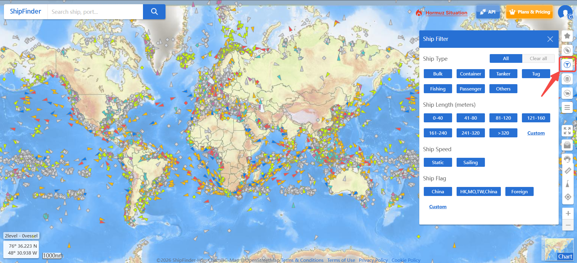
Users can refine vessel displays on the map by selecting specific criteria, including vessel type, length, navigation status, speed, flag, and other available parameters. This helps users focus on relevant vessels, improve search efficiency, and better analyze vessel activity in specific areas.
How to Use Map Filter
Open the Map Filter panel.
Select the filtering criteria you want to apply.
Customize filters based on vessel information, such as vessel type, length, status, speed, or flag.
View the filtered vessels displayed on the map.
Available Filters
Vessel Type – Filter vessels by category, such as cargo ships, tankers, passenger vessels, and more.
Length – Find vessels within a specific length range.
Speed – Filter vessels based on their current movement status, including Static (not moving) and Sailing (underway).
Flag – Filter vessels by registered flag state.