




Map Layers allow users to customize the map display by selecting different information layers based on their operational needs. By combining vessel positions with geographic, maritime, and environmental data, ShipFinder helps users gain better situational awareness and support navigation analysis.
Users can enable or disable different layers under the Map Layers menu to display relevant maritime information, including ports, sea areas, navigation areas, risk information, and vessel trajectory analysis.
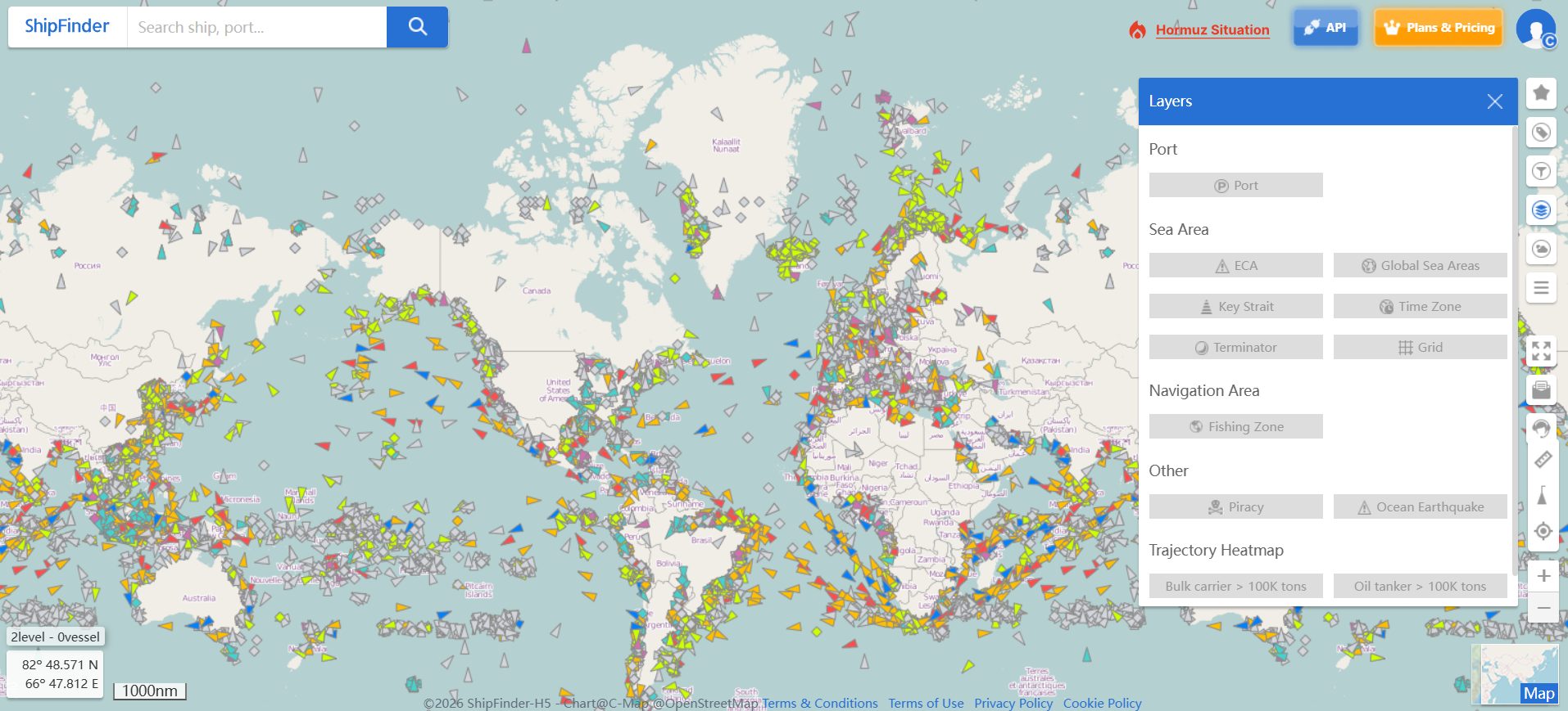
Port
The Port layer displays global port information on the map, helping users quickly identify port locations and access related maritime information.
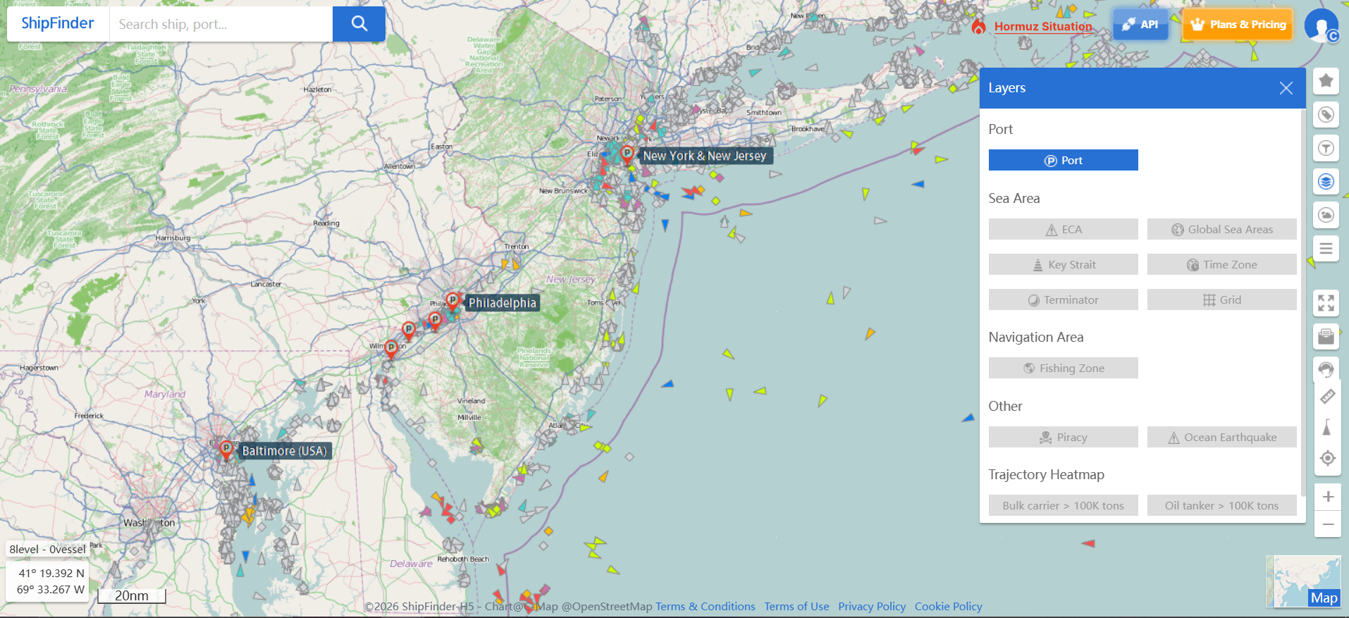
Sea Area
The Sea Area layer provides important maritime geographic information to help users understand navigation environments, regulatory boundaries, and regional conditions.
Available layers include:
ECA (Emission Control Areas) – Global emission control zones
Global Sea Areas – Major global maritime regions
Key Straits – Important international straits and waterways
Time Zone – Global maritime time zone information
Terminator – Day/night boundary visualization
Grid – Latitude and longitude reference grid
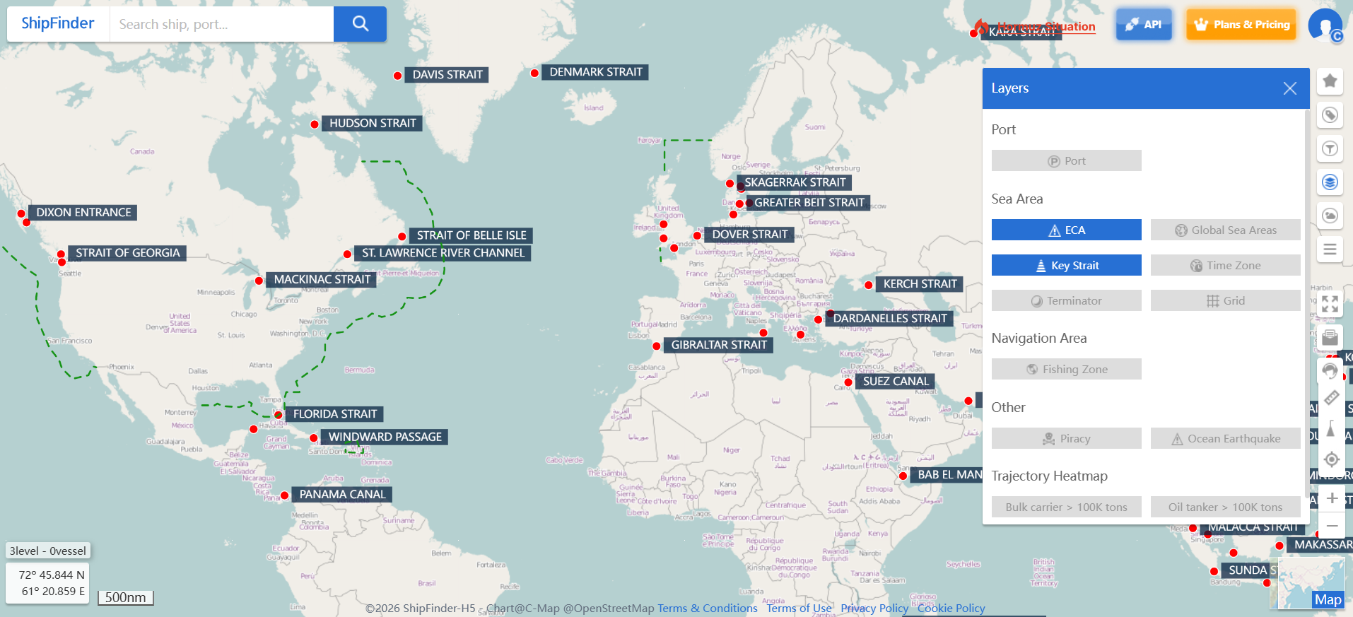
Navigation Area
The Navigation Area layer provides information about specific maritime areas that may affect vessel operations and route planning.
Available information includes:
Fishing Zone – Fishing activity areas and boundaries
Other
The Other layer provides additional maritime risk and environmental information to support navigation awareness.
Available information includes:
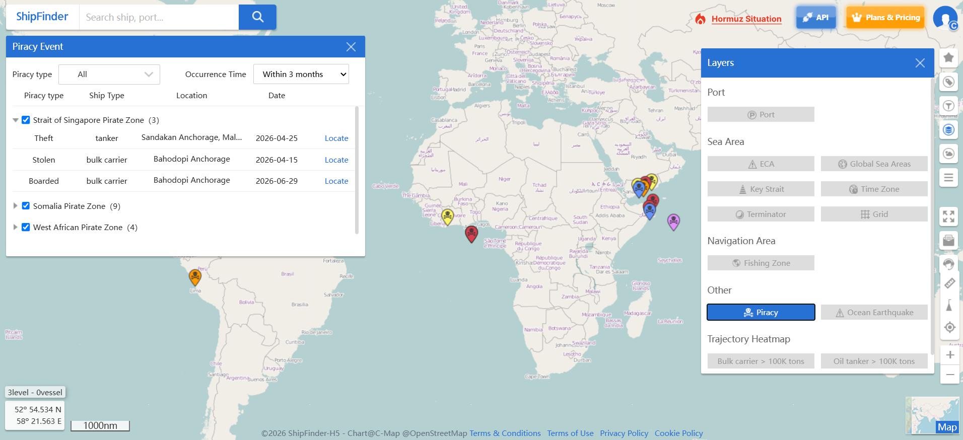
Piracy – Piracy incident information
Ocean Earthquake – Marine earthquake information
Trajectory Heatmap
The Trajectory Heatmap layer visualizes historical vessel movement density on the map, helping users analyze maritime traffic patterns and route distribution.
It can be used for:
Identifying major shipping lanes
Understanding vessel traffic concentration
Supporting waterway analysis
Evaluating navigation patterns and route planning
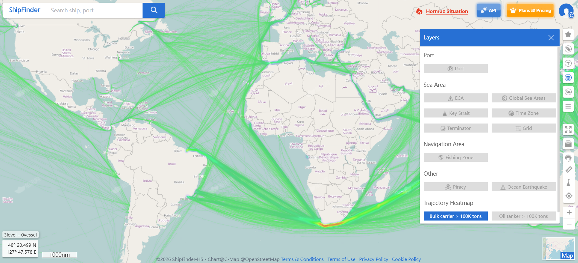
Need More Advanced Heatmap Analysis? The heatmap shown in the platform is a sample visualization. ShipFinder offers customized trajectory heatmaps and maritime traffic analysis services tailored to your business needs. To learn more about our enterprise solutions, please contact us shipfinder@elaneglobal.com.