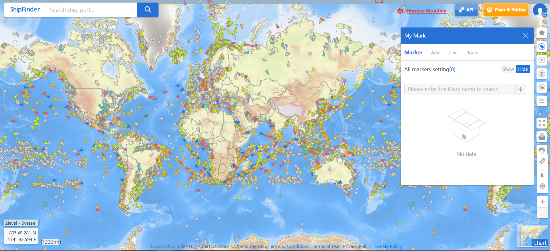



Map Annotations allow users to add customized areas, lines, and routes on the map, helping highlight important information, define operational areas, and support vessel navigation planning.
Users can create different types of annotations to visualize key locations, maritime areas, and planned routes, improving situational awareness and operational efficiency.
Available Annotation Types
Area – Draw and mark specific areas on the map for monitoring, planning, or analysis purposes.
Line – Create custom lines to highlight boundaries, reference points, or areas of interest.
Route – Draw planned routes on the map to assist voyage planning and navigation.